Construction Projects
-
![Construction site with a large pond surrounded by rocks, black fabric lining, and a partially built embankment, near a roadside with trees in the background.]()
South Branch Gravel Wetland
This gravel wetland was built to treat stormwater from 48-acres of roads, parking lots, and store roofs to remove water pollutants like nutrients and metals before flowing to Long Creek. The gravel wetland also helps increase dissolved oxygen while cooling and slowly releasing water into the Creek to better support stream life.
-
![Blanchette Brook Stream Restoration]()
Blanchette Brook Stream Restoration
Approximately 800 feet of Blanchette Brook was restored at Colonel Westbrook Park. Boulders and tree root wads were used to restore the stream channel and create habitat. Plants were also added along the stream banks to shade the stream.
-
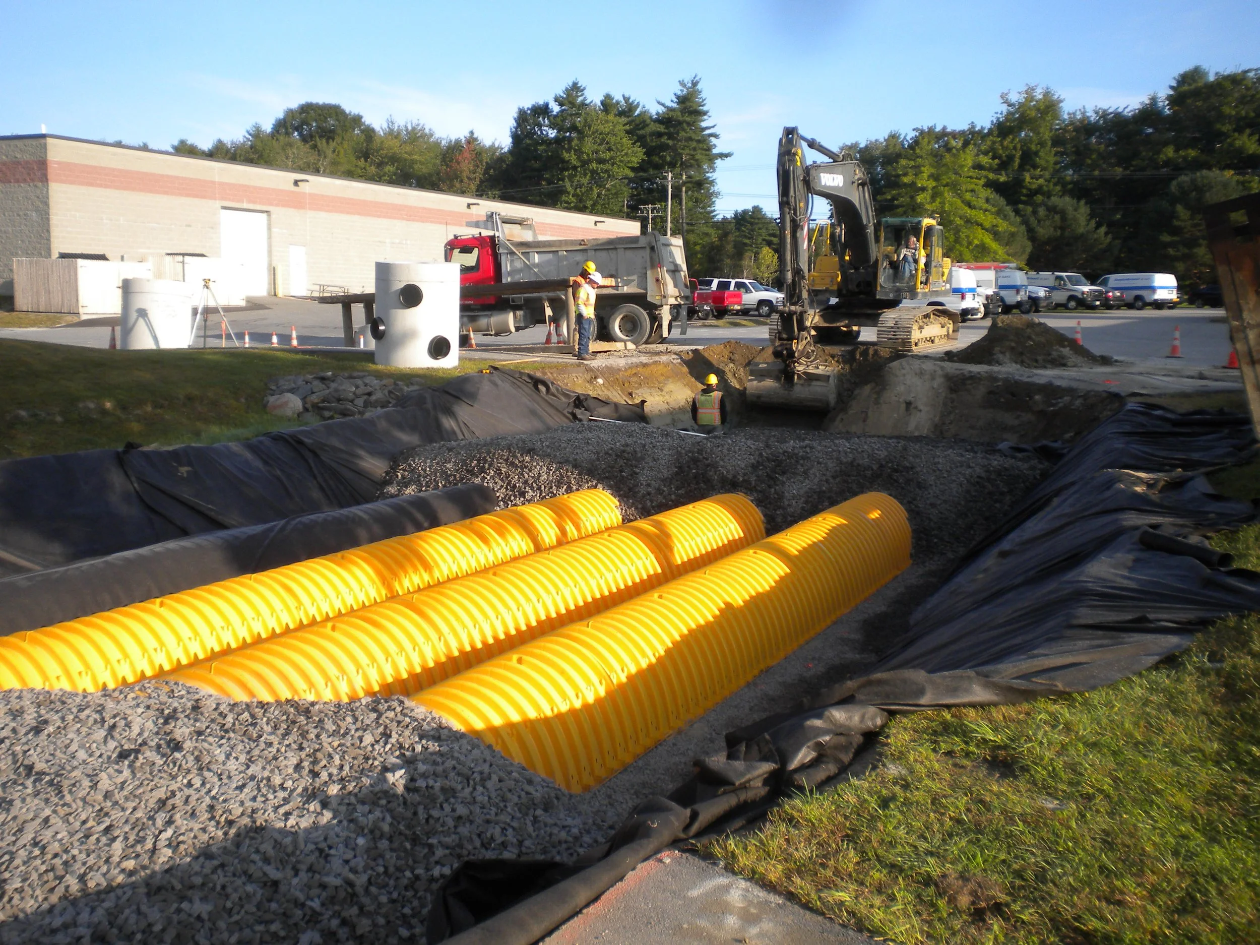
![Construction workers and heavy machinery work on installing underground utilities with yellow corrugated pipes in a trench.]()
Blanchette Brook Stormwater BMPs
The Colonel Westbrook Stormwater BMP project includes portions of Spring Street, County Road, and properties in the Colonel Westbrook Park, in Westbrook. The project area treated 33 acres. An existing stormwater pond was retrofitted to a gravel wetland. Additionally, five underdrained soil filters, one Brentwood StormTank system, and two StormTech chamber systems were also installed. These systems remove pollutants and improve flow into the Brook after storms.
-
![Darling Avenue -landscaped filter]()
Darling Avenue Stormwater BMPs
The Darling Avenue project treats runoff from 7.21 impervious acres. Stormwater is managed by Filterra units, soil media filters and landscaped medians. Installation includes attractive landscaping for improved pedestrian street views.
-
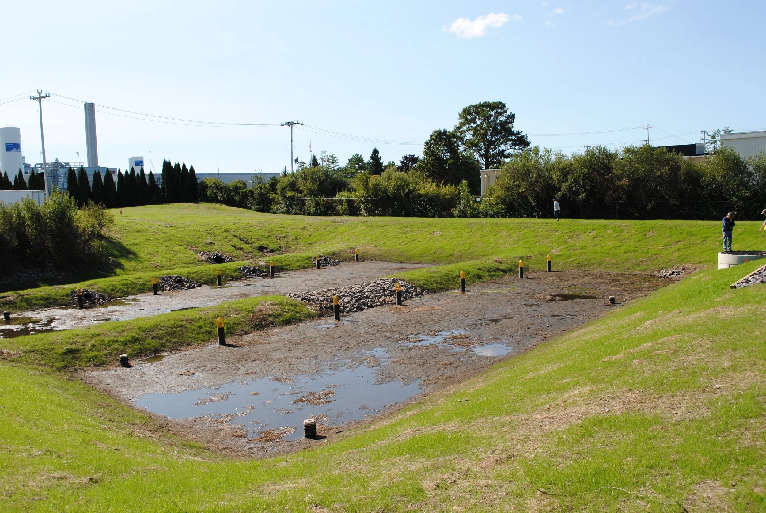
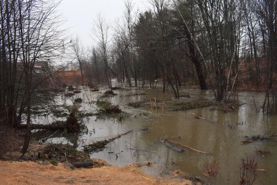
![A partially drained construction or excavation site with muddy water, green grass, and several people observing the area, with trees and industrial buildings in the background.]()
Western Avenue Stormwater BMPs
The District worked with Fairchild Semiconductor and Texas Instruments to install an integrated stormwater retrofit. This project treats 18.5 acres of impervious surface, upgrading an existing detention pond with a gravel wetland, converting two existing smaller detention basins into one treatment system, and removing nearly one acre of impervious parking.
-
![detention basin level control outlet]()
Gannett Drive Stormwater BMPs
The original detention pond from the 1980s was retrofitted with a settling basin with a valve to control streamflow and a gravel underdrained soil filter to remove pollutants.
-
![A street with a row of pink blooming cherry blossom trees along the sidewalk, parked cars, and a wooded area in the background under a clear blue sky.]()
Gorham Road Stormwater BMPs
The existing paved and concrete medians along Gorham Road were retrofitted to vegetated medians. The medians treat approximately one acre of impervious area and resulted in the removal of one acre of impervious cover.
-
![gravel wetland]()
Maine Mall Gravel Wetland
An existing detention basin adjacent to the Maine Mall parking lot was retrofitted into a gravel wetland. This wetland removes pollutants using plants and bacteria to treat stormwater.
-
![Construction workers and equipment repair a road in a commercial area with storefronts, traffic cones, and a digital signboard.]()
Maine Mall Road Porous Pavement
The MaineDOT installed and maintains a portion of porous pavement on Maine Mall Road. Porous pavement allows rain and melted snow to pass through the surface of the road to the filtering system below.
-
![Garden bed with purple flowers growing on each side, and green grass in the background along a street with commercial signs and buildings.]()
Maine Mall Road Stormwater BMPs
Stormwater treatment systems were installed along Maine Mall Road treating 8.4 acres of impervious area. Filterra units and other treatment BMPs were installed along the road. In addition, a detention basin at the Comfort Inn was retrofitted into a bio-retention/filter basin.
-
![Two long, narrow concrete or metal channels in a grassy, open field, with a small drain cover nearby and trees in the background.]()
Mall Plaza Stormwater BMPs
This project was one of the first structural retrofits completed in the watershed. The project includes a multi-cell soil media filter that collects stormwater and distributes it into seven treatment cells, underground StormTech chambers to hold runoff, and StormTreat systems installed to treat the stormwater.
-
![stormtreat installation]()
Philbrook Avenue Stormwater BMPs
This project modified the existing drainage system to store runoff and remove pollutants. Two thousand feet of streamside vegetation was planted to provide habitat and food for wildlife while shading the stream to moderate its temperature.
-
![rain garden at port resources]()
Port Resources Stormwater BMPs
This project included updating a roof dripline trench, two underdrained soil filters, and one bioretention cell to treat runoff.


Main Stem Restoration Project
Long Creek is impacted by extensive development in the watershed, resulting in poor water quality and habitat for wildlife. This project included improving the stream bed, stabilizing the stream banks, managing invasive plants, establishing native plants, and reestablishing the stream’s floodplain to predevelopment conditions.
Good Housekeeping
-
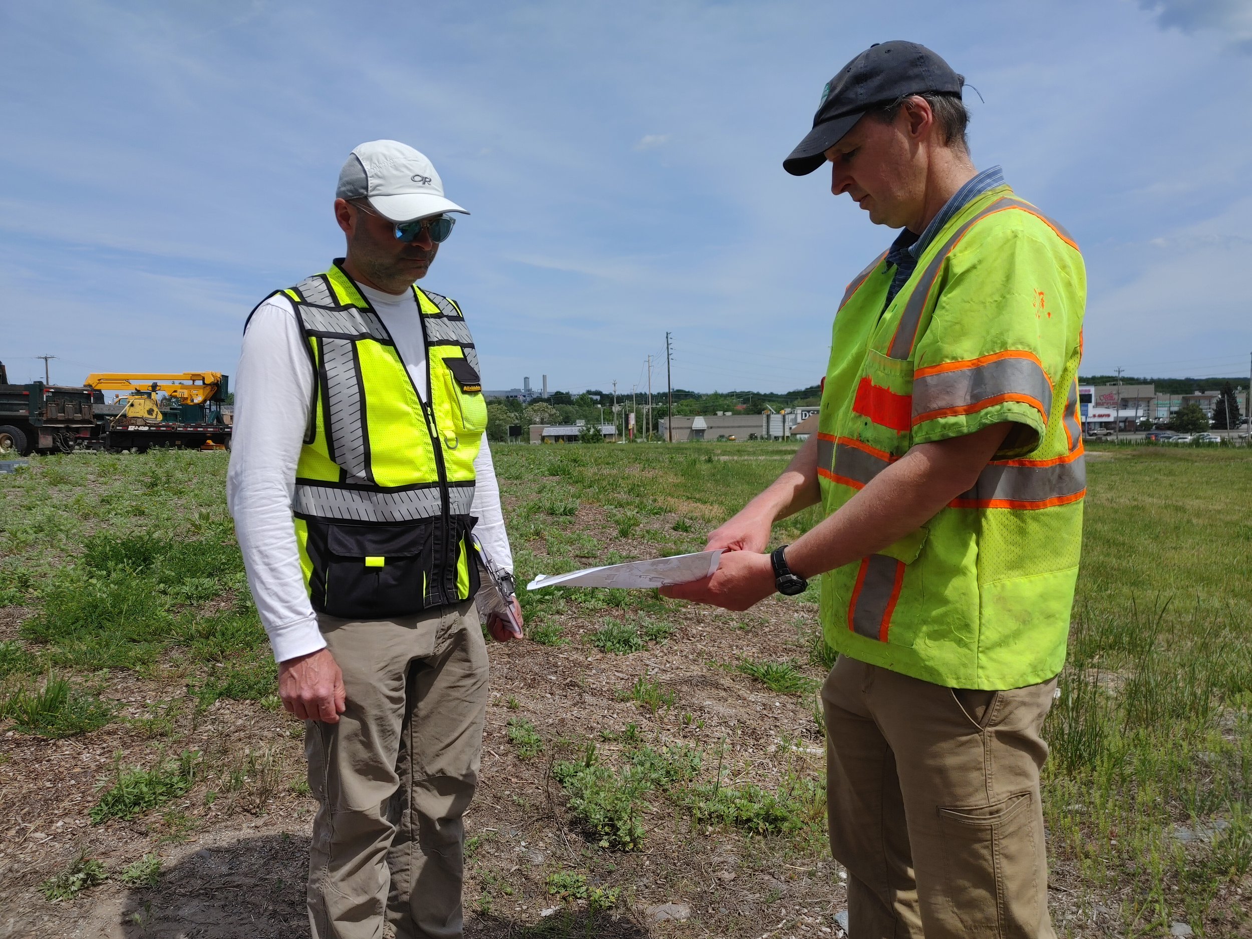
Parcel Inspections
Parcel inspections are performed between April and October each year to review stormwater infrastructure and good housekeeping and we recommend Participating Landowners or their property managers accompany us to discuss site-specific operation and maintenance plans and to resolve issues identified during inspections.
-

Pavement Sweeping
Road and parking lot pavement sweeping happens multiple times throughout the year to remove litter, sand, metals, leaves, and other pollutants. Sweeping events occur between April and November each year.
-

Catch Basin Cleaning
Approximately 700 catch basins are inspected and cleaned between June 1 and October 31 each year on Participating Landowner parcels.
-

Winter Maintenance
Long Creek chloride levels are too high to support important stream wildlife due to road salt applications on roads, parking lots, and sidewalks during winter months. The only known effective way to lower chloride levels is through reducing the use of road salt. The District is implementing a salt reduction program for Participating Landowner winter maintenance contractors.
Watershed Monitoring
-

Continuous Monitoring
Water quality data is collected continuously with data loggers deployed at various locations along Long Creek. Parameters monitored include temperature, specific conductance, and dissolved oxygen.
-

Grab Sample Collection
Grab sampling water quality monitoring data is collected annually. Monitoring includes determining the levels of metals, hardness, chloride, phosphorus, dissolved oxygen, and temperature.
-

Flow Monitoring
Due to the high impervious cover in the watershed, the stream’s flow rates increase rapidly and intensively during storms. This causes stream bed and bank erosion and deposits sediment on important spawning habitat for brook trout and disrupting habitat for bugs.
-

Biomonitoring
Aquatic bug monitoring is performed in accordance with MDEP Biological Monitoring Program protocols.
-

Fish Monitoring
Fish monitoring is performed at all primary monitoring locations in accordance with MDEP Biological Monitoring Program Electro-Shock protocols.
-

Weather Data
Weather data is compiled annually from the National Oceanic and Atmospheric Administration (“NOAA”) weather station located at the Portland International Jetport.